Skip to content
 NeWinCEE- The Network for Women in Civil and Environmental Engineering Feb, 15, 2023 This video describes the vision and activities of NeWinCEE, the Network for Women in Civil and Environmental Engineering, that was established at the University of Michigan. NeWinCEE aims to provide female undergraduate and graduate students with the mentorship, support and guidance necessary to achieve excellence in the Civil and Environmental Engineering field. Through a number… Continue Reading
 Unprocessed Drone-based Video Footage Following the 2015 Lefkada Earthquake Feb, 15, 2023 Raw Data video of reconnaissance following the Mw 6.4 earthquake that occurred near Lefkada island in Greece, on November 17th 2015. Our team deployed within less than 48 hrs following the earthquake and collected drone-based video footage of affected areas. The UAAV successfully by-passed roads that were closed by landslides and other damaged infrastructure that… Continue Reading
 Drones and Natural Disasters Feb, 15, 2023 Outreach video explaining our research focus on the use of drones in post-earthquake reconnaissance. Developed by the University of Michigan College of Engineering (MCONNEX). More information about this research project can be found here. Continue Reading
 Drones Mapping Landslides following the Gorkha 2015 earthquake in Nepal Feb, 15, 2023 More than 20,000 landslides took place in Nepal during the Mw 7.8 Gorkha earthquake on April 25th 2015 . This video describes the landslide mapping efforts of researchers from the University of Michigan (Dr. Marin Clark, and Dr. Dimitrios Zekkos), University of Southern California (Dr. Josh West) in the US and Tribhuhan University (Dr. Deepak… Continue Reading
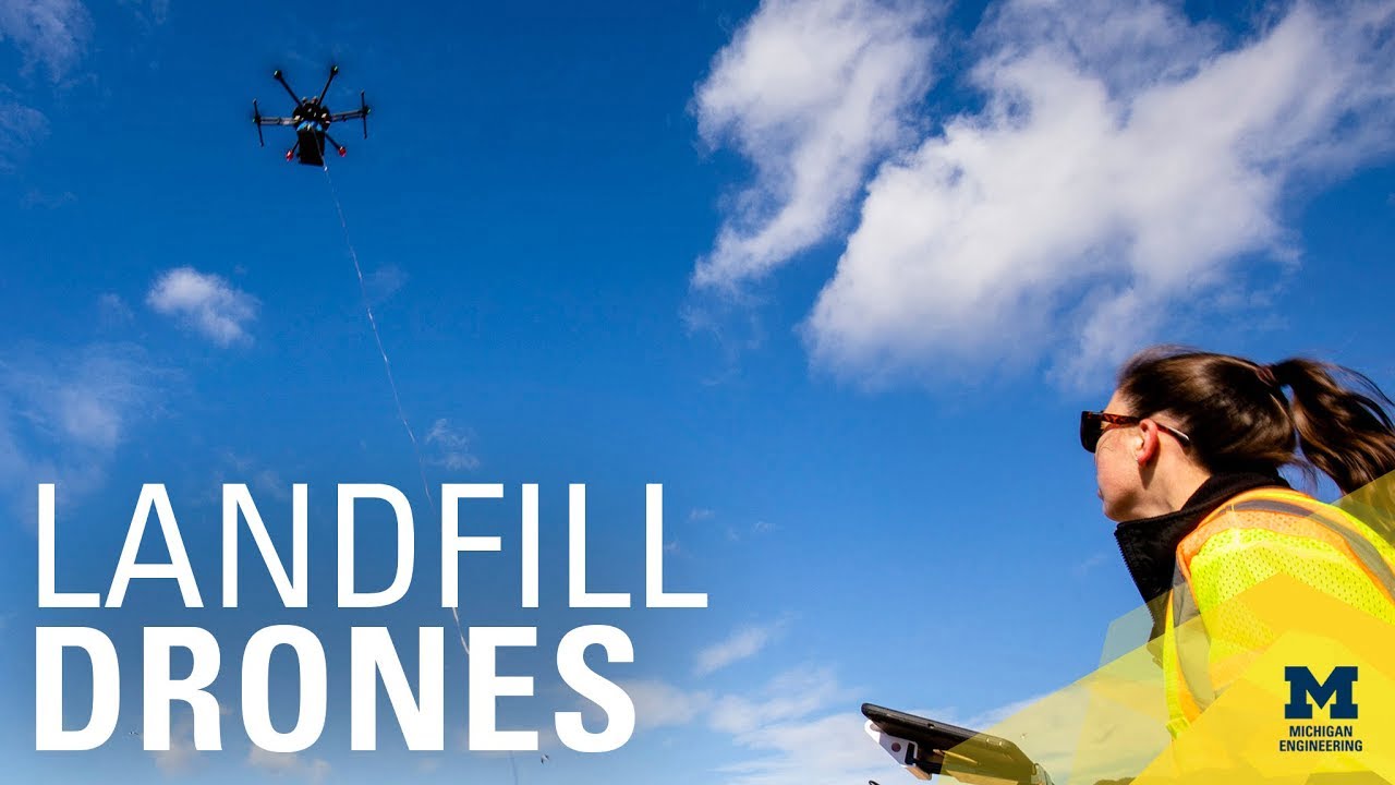 Using autonomous drones to map methane in landfills Feb, 14, 2023 Paving the way for the capture and use of methane, University of Michigan researchers can pin down concentrations of the gas in landfills using autonomous drones equipped with lasers. Traditionally, the EPA requires landfills to use surface measurements, where a person walks and takes methane concentration measurements at certain intervals across an entire landfill and… Continue Reading
 Municipal Solid Waste Landfills and Seismic Risk Mitigation (landfills and earthquakes) Feb, 15, 2023 This video discusses research on the seismic response of Municipal Solid Waste and highlights Dr. Zekkos’ and his collaborators research performed to improve the seismic design of landfills. More information about this research project can be found here. If you are interested in receiving updates about this research project join the research project webpage on GeoWorld here.… Continue Reading
 University of Michigan Researchers use Drones to Map Landslides from New Zealand Earthquake Feb, 14, 2023 A story and a video of our work to map ground failure caused by the magnitude-7.8 earthquake that struck New Zealand's South Island on Nov. 13, 2016. Using satellite stereo-imagery, our team created 3D geometries of an area that is approximately equal to the State of South Carolina and compared the results with Ultra-High Resolution imagery from UAVs Continue Reading