Paving the way for the capture and use of methane, University of Michigan researchers can pin down concentrations of the gas in landfills using autonomous drones equipped with lasers. Traditionally, the EPA requires landfills to use surface measurements, where a person walks and takes methane concentration measurements at certain intervals across an entire landfill and this data is used for compliance only. The new method could offer greater precision and reduce the time and effort required, and generate data that can help us understand the ongoing biodegradation processes in the landfill.
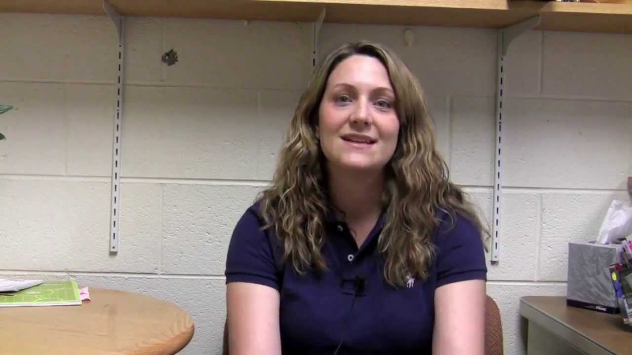
NeWinCEE- The Network for Women in Civil and Environmental Engineering
Feb, 15, 2023
This video describes the vision and activities of NeWinCEE, the Network for Women in Civil and Environmental Engineering, that was...
Read More

Municipal Solid Waste Landfills and Seismic Risk Mitigation (landfills and earthquakes)
Feb, 15, 2023
This video discusses research on the seismic response of Municipal Solid Waste and highlights Dr. Zekkos’ and his collaborators research...
Read More

Unprocessed Drone-based Video Footage Following the 2015 Lefkada Earthquake
Feb, 15, 2023
Raw Data video of reconnaissance following the Mw 6.4 earthquake that occurred near Lefkada island in Greece, on November 17th...
Read More